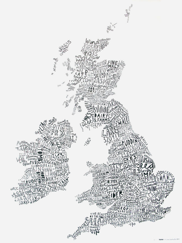
British Isles Map
So this is rather lovely - a map of the British Isles created out of text that relates to its geographical location - so the Isle of Wight is illustrated with the word 1970, for the epic festival that occurred there in that year.
It's by Angus McArthur & Alison Hardcastle, and you can pick it up from Theo.
